Active Campaign — Spring 2026

Our streets were built for neighbors, not commuter shortcuts (see study)

Over 10,000 cars a day travel through the Lower Rockridge Trapezoid. After 15+ years of residents lobbying the City, years of studies, 2 petitions with hundreds of signatures requesting traffic volume reduction, 2 years of meetings, it's time for action.

Overall Volume
10,000
cars per day through the Lower Rockridge trapezoid
Our streets are massively overused, primarily by cut-through traffic.
Volume reduction goal
Reduce traffic by a minimum of 60%
cutting through the Lower Rockridge trapezoid
"Local streets should be used primarily for access to abutting property. Their design should discourage all through traffic." — Oakland General Plan, Circulation Element
1,000,000
cut-through cars per year we aim to eliminate from our streets in the Lower Rockridge trapezoid

A neighborhood vision guided by noble principles

Preserve and improve neighborly character

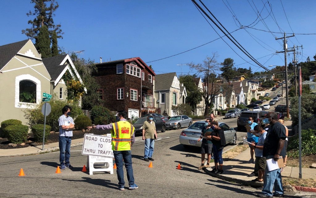
Residential street with pedestrians and a cyclist — neighborly character

Enhance residents' safety

  • Make parents and children feel more comfortable they can walk to school and play on the street
  • Improve air quality by reducing exhaustion from cars, especially idle ones at intersections
  • Reduce crime by preventing "quick get-aways"
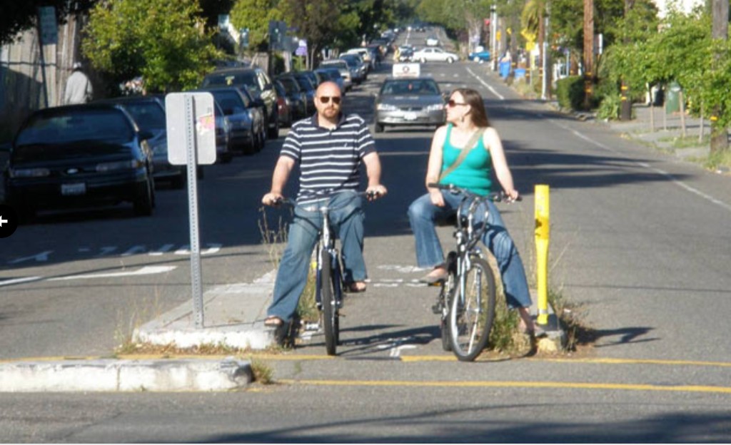
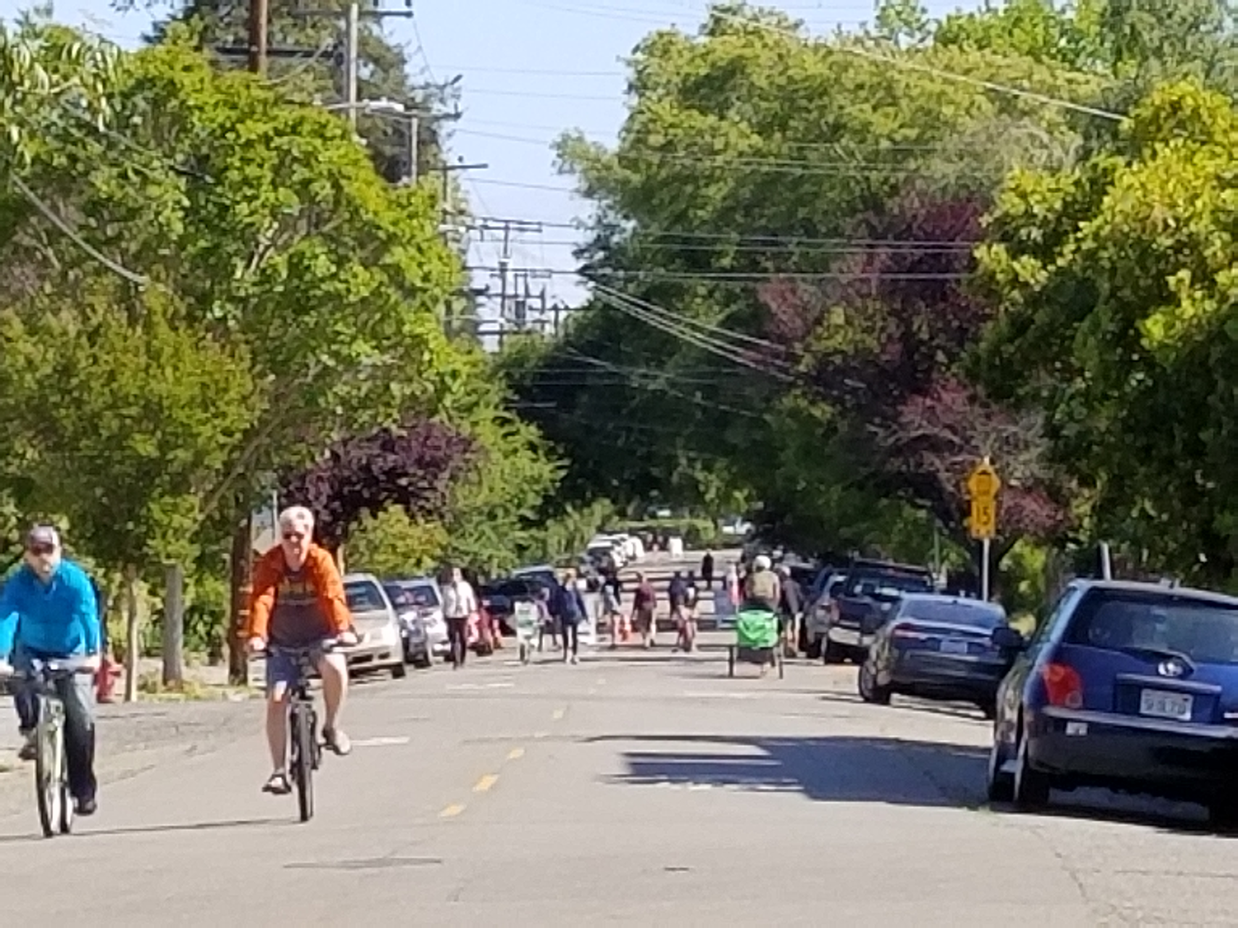
Cyclists and pedestrians on a slowed residential street — residents' safety

Foster walkability and bike-friendliness

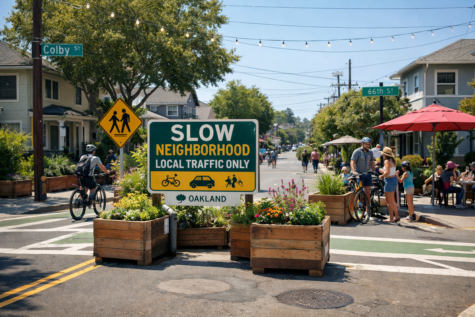
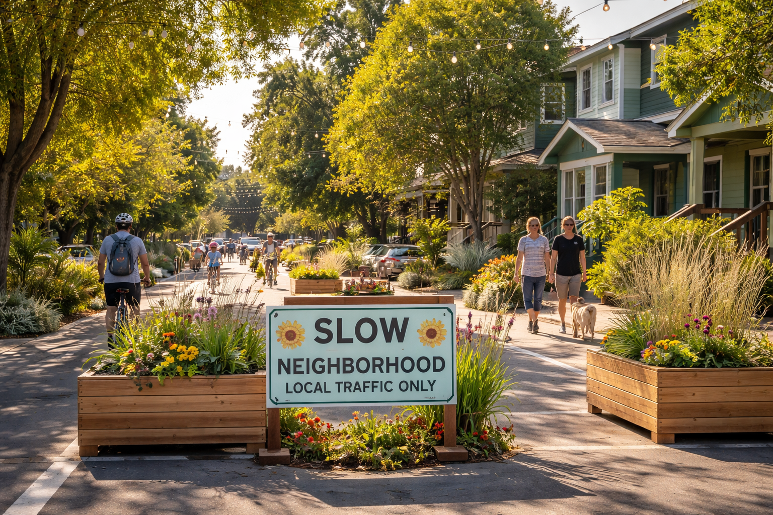
Slow Neighborhood sign with cyclist and outdoor cafe — walkability and bike-friendliness

Navigation apps turned our neighborhood from residential to thoroughfare

The Rockridge "trapezoid" — the residential area bounded by College, Claremont, Telegraph, and Alcatraz Avenues — has become a major cut-through corridor. Waze, Google Maps, and gig-economy routing send thousands of commuter vehicles daily onto streets never designed for that volume.

⚠️

Children at risk

There's a preschool on Colby Street. During rush hour, up to 400 cars per hour can race past — residents can't safely exit their driveways, and families can't safely cross the street.

🚲

Bike Boulevard

Colby is Oakland's designated bicycle boulevard — a primary bike corridor connecting neighborhoods across North Oakland and South Berkeley. NACTO guidance establish as a ceiling 50 cars per hour and 2,000 per day on a bike boulevard. During rush hour we hit 400 — 8× the hourly limit — and daily volumes reach 4,000, 2× the daily threshold.

🏗️

It's about to get worse

The new Community Center (JCC) facility will generate up to 338 additional peak-hour vehicle trips — source: California Environmental Quality Act (CEQA) study conducted as part of the JCC remodel permitting process. Waymo is coming to Oakland in 2026. New developments on College Ave will add even more.

📱

App-driven

The vast majority of traffic on Colby and Hillegass is cut-through — drivers following navigation apps like Waze and Google Maps that route them through residential streets to shave time off their commute.

Traffic volume is far beyond safe limits, especially on the North-South axis

This isn't anecdotal. It's been measured by community traffic counters, confirmed by OakDOT surveys, and modeled by career-long experts on California traffic using professional modeling tools.

Average Daily Traffic (ADT) — Current Measured vs. Safety Standards

FHWA local: 700
FHWA bike: 2,000
Colby Street
~3,500
Colby (w/ JCC)
5,000+
Hillegass Ave
~1,900
Hillegass (w/ JCC)
~2,400
Martin Street
~2,000
Martin (w/ JCC)
~2,300
0
1,000
2,000
3,000
4,000
5,000
vehicles per day →
Street Measured ADT Max Threshold Status
Colby St (bike boulevard) ~3,500 2,000 (FHWA and OakDOT bike route) 175% over limit
Colby St (projected w/ JCC) 5,000+ 2,000 (FHWA and OakDOT bike route) 250%+ over limit
Hillegass Ave ~1,900 700 (FHWA local street) 271% over limit
Hillegass Ave (projected w/ JCC) ~2,400 700 (FHWA local street) 343% over limit
Martin St ~2,000 700 (FHWA local street) 286% over limit
Martin St (projected w/ JCC) ~2,300 700 (FHWA local street) 329% over limit
Sources: Community Telraam traffic counters (continuous); OakDOT survey data; FHWA guidelines (700 ADT for local streets; 1,500 ADT for residential collectors); OakDOT standard (2,000 ADT max for bike routes, 50 vehicles/hr/direction at peak — see footnote 6); Fehr & Peers CEQA study for JCC East Bay project.

Cut traffic volume — holistically, across the trapezoid

Treatments OakDOT may evaluate

Cities routinely combine tools from this menu. The table summarizes relative impacts and cost-effectiveness from public research.

Treatment Impact on Traffic Volume Affordability Effectiveness (Impact × Affordability)
Curb extension
Tightened corner radii and shorter crossings
5%
★★☆☆☆
10%
Signage only
Posted signs without physical enforcement
3%
★★★★★
15%
Chicanes
Alternating curb extensions or parking shifts creating an S-curve
10%
★★☆☆☆
20%
Traffic circle
Raised or painted circles at intersections to slow traffic
20%
★★☆☆☆
40%
Road diet
Reduce the number or width of travel lanes
25%
★★☆☆☆
50%
Speed hump/table
Vertical deflection devices placed mid-block
15%
★★★★☆
60%
already in place
Cul-de-sacs / Dead-end Street Networks
Terminates street connectivity for cars while keeping pedestrian/cyclist access
45%
★★★☆☆
135%
Turn Restrictions / Vehicle Access Controls
Regulatory limits (e.g., no left-turns into, residents-only access windows)
40%
★★★★★
200%
Diverters
Physical barriers (planters, bollards) allowing walking, biking
65%
★★★★☆
260%
▐ Red line indicates 100% effectiveness threshold
Source: Traffic Treatments Effectiveness. Values above the red 100% effectiveness line indicate stronger combined impact and affordability in this summary dataset — OakDOT’s engineering study determines what is appropriate here.

15+ years of advocacy, 3 years of studies, meetings, and delays

Residents have been asking for help since 2007. The data is in. OakDOT has studied options. What’s missing is a transparent, engineering-led plan to reduce volume across the trapezoid — and the political will to let OakDOT carry it out.

2007
Trapezoid residents advocate for traffic volume reduction
Residents started organizing, working with then Council Member Jane Brunner and staffer Zac Wald. Informal traffic volume count at the time indicated ADT on Colby approaching 2,000. OakDOT installed speed bumps over several years, which, while appreciated and resulting in speed reduction, did not stop the progressive increase of traffic volume.
2014
Safeway redesign increases traffic volume
After significant community engagement prompted by Safeway redesign, residents secured rights to traffic mitigation funds for traffic calming. While Safeway ended up agreeing to provide funds, the City dropped the ball in securing the funds. OakDOT commissioned survey showing traffic volume on Colby increased to 2,300 ADT.
2020
COVID leads to Slow Street program
Mobile diverters led to significant traffic volume drop and a new neighborly feel, prompting 250+ widespread residents to sign a petition to make the Slow Street program permanent.
April 2023
First official walkthrough
45+ Hillegass neighbors met with Councilmember Dan Kalb. OakDOT staff walked the neighborhood.
November 2023
Petition to City Administrator
Residents formally requested physical enhancements including diverters.
March 2024
OakDOT proposes traffic volume reduction measures
Mainstream adoption of navigation apps accelerates cut-through traffic across neighborhoods, nationally and in the Trapezoid. OakDOT renews its "commitment to promoting people over cars" with the stated goal of discouraging traffic from treating this neighborhood as a shortcut. OakDOT proposes a multi-year process to drain cut-through traffic out of the Trapezoid, beginning with initial measures at three intersections over 18 months.
December 2024
Community meeting — process paused
100+ residents attended. Some neighbors objected. Director Rowan agreed to a Working Group to explore alternatives.
Jan–Mar 2025
Working Group meets six times
Data was shared including career-long experts on California traffic using professional modeling tools (60% traffic reduction) and JCC CEQA projections. No consensus on alternative.
April 2025
Working Group disbanded
Director Rowan cited "bad faith" conduct by opposition members who bypassed the established process. No alternative to diverters was produced.
June 2025
Private meeting excludes residents backing OakDOT action
Councilmember Unger and Director Rowan attended a meeting hosted by a former Councilmember — no supporters of the OakDOT-led process were invited.
November 2025
Residents meet with City leadership
Residents met with City Administrator, Councilmember Unger, and Director Rowan to press for a trapezoid-wide volume-reduction plan led by OakDOT, including visibility on Colby, Hillegass, and 62nd as well as the Wormhole.
Aug 2025 – Jan 2026
Six months of silence
No communication from the City. No community meeting. No implementation of OakDOT’s trapezoid plan. Nothing.
January 2026
Residents press for answers
Councilmember Unger responds that a community meeting is imminent and the city administration is close to a decision.
Spring 2026
Now — time for action
Community meeting expected. We need the City to move forward with an OakDOT-led, trapezoid-wide plan to reduce cut-through volume — grounded in engineering, not watered down by ad hoc interference.
Reference Projects & Studies

Short summaries and, where applicable, what each source reports on vehicle trips or volumes.

  • The official Fehr & Peers transportation addendum (via Lamphier-Gregory, Oct. 2024, Case PLN23117) that quantifies how many additional peak-hour vehicle trips the JCC East Bay campus remodel adds to College Avenue, Chabot Road, and surrounding residential streets — and what City rules require to offset them.

    The analysis puts the number at up to 338 net new a.m. peak vehicle trips on a summer camp day, and 195 / 184 a.m. and p.m. peak trips on a non-summer “typical” weekday (PDF ˜pp. 48–49, Table 5 area). When a project crosses 100 new peak-hour trips, the City’s SCA framework requires a TDM plan targeting up to 20% vehicle trip reduction (VTR).

  • Gorove Slade’s 2020 review of how nine U.S. cities — including Fremont, CA and Bellevue, WA — used turn restrictions, app-routing awareness, and area-wide programs to measurably cut non-local cut-through traffic in residential neighborhoods.

    Cities in the report saw large reductions in cut-through volumes: Fremont documented 70–90% less cut-through traffic in neighborhoods with turn restrictions, plus 33% less congestion on Mission Boulevard; Bellevue saw 75–80% fewer left-turning vehicles in a tested movement. The report also examines how cities manage rerouting to adjacent streets as part of a broader area strategy.

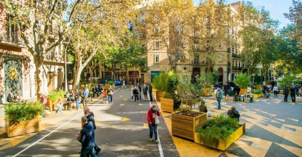
  • Barcelona’s superblock model clusters residential streets into people-priority cells, restricting through-motor-traffic to perimeter routes and freeing interior streets for walking, cycling, and community life. Now replicated in cities worldwide, it shows how limiting through-traffic transforms a neighborhood.

    Peer-reviewed studies of early superblock pilots document large reductions in motor-vehicle exposure on interior streets alongside significant air-quality gains, including strong NO₂ reductions (and, in some studies, particulate matter) that benefit residents’ health directly.

  • A ground-level look at how Bristol used modal filters and neighborhood traffic management to transform the feel of residential streets — showing what a functioning slow neighborhood actually looks like and how residents experience the change.

    Shows the street-level outcome of volume reduction: quieter roads, more people walking and cycling, and a calmer neighborhood character that residents and local advocates describe as a direct result of the LTN tools.

  • One of the Bay Area’s most sustained slow-streets programs — showing how pandemic-era temporary closures evolved into council-directed policy, long-term greenways, and a community commitment to keeping streets calmer. A close peer case for how neighbor engagement and political will move from pilot to permanent.

    Alameda’s program documents sustained slow-street outcomes across multiple corridors over several years — demonstrating that volume reduction, once achieved, can be maintained and expanded with community and council support.

  • Paris: a city of bikes (Fast Company)

    How Paris converted car lanes to protected bike infrastructure across the city — one of the clearest modern examples of political will translating into measurable mode shift, reduced car dominance, and dramatically more people choosing to cycle.

    Paris saw a large increase in cycling alongside reduced car traffic on redesigned streets — demonstrating what prioritizing people over through-traffic achieves at city scale and making the case that change, even ambitious change, is achievable.

  • (C) Treatment effectiveness (spreadsheet + LTN review)

    Public spreadsheet comparing treatments on relative traffic impact and cost; peer-reviewed work evaluates low-traffic neighborhood effects in one published case. View spreadsheet.

    In the compiled matrix, modal filters / diverters sit high on impact; the LTN study reports large local motor-vehicle changes in the evaluated network.

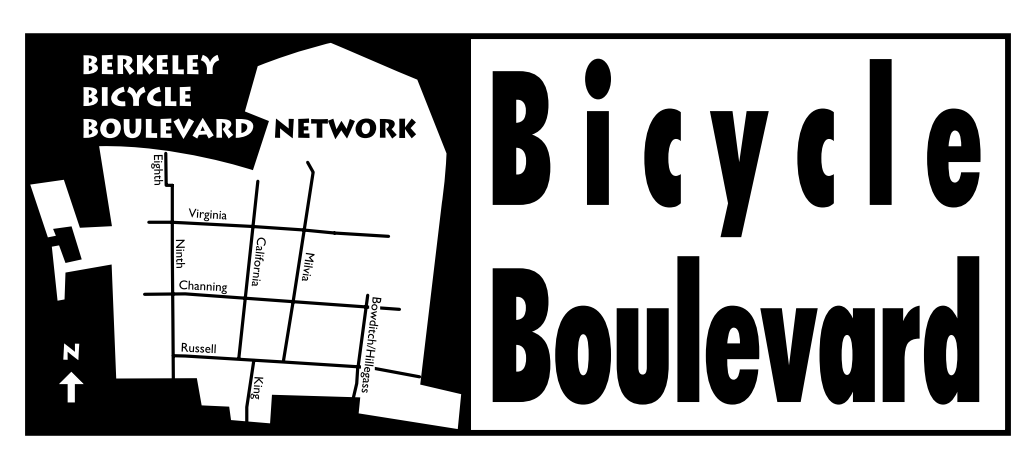
  • Berkeley’s bicycle boulevard design guidelines, covering the Hillegass Avenue route where diverters keep traffic volumes low enough to support comfortable cycling. The same street crosses into Oakland a few blocks south — where, without the same tools, volumes are measurably higher (see footnote 9).

    The guidelines use under 2,000 vehicles per day as a design threshold for some treatments — and Telraam counts on both sides of the border (footnote 9) show the real-world volume difference that Berkeley’s diverters create on the same street.

  • NACTO’s case study of how a single diverter on Channing Way, just blocks from Lower Rockridge, eliminated cut-through motor traffic while keeping the street fully open for cyclists crossing Martin Luther King Jr. Boulevard — with loop detectors to protect bike priority at the intersection.

    One well-placed diverter removed cut-through motor traffic entirely from Channing Way while improving safety and access for people on bikes — a directly adjacent example of the kind of intervention being requested for the trapezoid.

  • OakDOT’s own three-week Oct.–Nov. 2024 pilot near East Oakland Pride Elementary — Oakland’s measured, published test of a traffic filter and one-way pattern, with full before/after data by street leg. Proof that the City knows how to run these interventions and measure the results.

    The city’s Dec. 2024 summary (three-week pilot) reports large before/after volume changes by leg — e.g. on the order of ~65–75% in some Plymouth directions, large drops on 81st (the deck quotes about ~70% eastbound for one 81st leg in its “meeting our goals” section), and ~22–28% higher daily vehicle counts on 82nd with discussion of cut-through shifting routes. It also cites about a 4.3 mph 85th-percentile speed drop in a school-adjacent segment. See the PDF for exact legs and time windows.

  • An OakDOT-commissioned study of a Fruitvale-area neighborhood facing the same problems as Lower Rockridge — cut-through traffic, high volumes, and speeding on residential streets. The memo recommends exactly the kind of engineered tools this neighborhood is requesting, and shows Oakland knows how to authorize and deploy them.

    The study explicitly calls for measures to reduce volume, cut-through traffic, and speeding on residential streets, and Table 2 catalogs specific volume-reduction tools — diverters, turn restrictions, and related treatments — that OakDOT has the expertise and precedent to implement.

  1. (1) Community Telraam traffic counters (see footnote 9) measured ADT of ~3,500 on Colby St (241 days, Aug 2025–Apr 2026), ~1,840 on Hillegass Ave (Mar 2025–Apr 2026), and ~2,000 on Martin St. It is estimated that the other ~12 streets of the trapezoid carry over 2,500 in aggregate.
  2. (2) Lower Rockridge trapezoid is the residential area delimited by 4 avenues — College, Claremont, Telegraph and Alcatraz — with 14 points of entry/exit for car traffic.
  3. (3) 2021 petition requesting the trapezoid to be converted into a permanent slow neighborhood.
  4. (4) 2025 petition requesting OakDOT move forward with professional study and measures to reduce traffic volume through the trapezoid.
  5. (5) Based on career-long experts on California traffic using professional modeling tools, including analysis of options for reducing cut-through volume that OakDOT has discussed in public materials.
  6. (6) NACTO Urban Bikeway Design Guide: bike boulevards should target 500 vehicles/day and no more than 50 motor vehicles per peak hour; volumes up to 2,000/day are acceptable if speeds are kept at or below 20 mph. NACTO — bike boulevards
  7. (7) Let's Bike Oakland (2019) — OakDOT's citywide bicycle plan. Designates Colby Street as a neighborhood bike route (bicycle boulevard) with shared-lane markings and traffic calming. Oakland Bicycle Plan
  8. (8) Oakland General Plan, Land Use and Transportation Element (LUTE), adopted 1998. Classifies local streets as intended for access to abutting property, not through-traffic. LUTE (General Plan)
  9. (9) The trapezoid has three public Telraam counters: Martin St, Hillegass Ave, and Colby St. Each public page shows charts for any contiguous 14-day window you choose (pick the dates, then click Update)—not limited to only the most recent fortnight. Colby data range: Aug 2025–Apr 2026 (241 days). Hillegass data range: Mar 2025–Apr 2026 (267 days). Martin data range: Feb 25, 2026–present. The Google Drive archive has longer-term data and summaries for all.
Take action

You've got the data.
Please help move this forward.

City officials have said the silence was being read as fading interest. Sign up for updates or write directly to city officials below.

Stay informed

Leave your email and we'll keep you updated as things develop.

Write to city officials

We've drafted an email for you. Tap the refresh button if you'd like a different version, then send.

Subject
Open in your email client →
No email client? Show addresses to copy
Subject

Stay informed

Leave your email and we'll keep you updated as things develop.

Traffic counting equipment compiled ADT as ~3,500 on Colby, ~1,840 motorized on Hillegass (long-run archive), and ~2,000 on Martin/Ayala. It is estimated that the other ~12 streets of the trapezoid carry over 2,500 in aggregate. see full footnote (1) ↓
Lower Rockridge trapezoid is the residential area delimited by 4 avenues — College, Claremont, Telegraph and Alcatraz — with 14 points of entry/exit for car traffic. see full footnote (2) ↓
2021 petition requesting the trapezoid to be converted into a permanent slow neighborhood. see full footnote (3) ↓
2025 petition requesting OakDOT move forward with professional study and measures to reduce traffic volume through the trapezoid. see full footnote (4) ↓
Based on career-long experts on California traffic using professional modeling tools, including analysis of options for reducing cut-through volume that OakDOT has discussed in public materials. see full footnote (5) ↓
National Association of City Transportation Officials — the industry standard for urban street design, adopted by OakDOT and cities nationwide. NACTO — bike boulevards see full footnote (6) ↓
Oakland's citywide bicycle plan, adopted 2019. Designates Colby Street as a neighborhood bike route (bicycle boulevard). Oakland Bicycle Plan see full footnote (7) ↓
Oakland's master policy document governing land use and transportation. Adopted 1998, it classifies streets and sets circulation goals including that local streets should serve access, not through-traffic. General Plan — LUTE see full footnote (8) ↓
Fehr & Peers study quantifying environmental impact of future JCC facility. View CEQA Analysis (PDF) see full reference (A) ↓
Barcelona's superblocks reclaim residential streets from through-traffic — reducing noise, pollution, and danger while creating public space. Read more see full reference (B) ↓
Comparative analysis of traffic calming treatments — impact, affordability, and combined effectiveness in one summary dataset. View data see full reference (C) ↓
The trapezoid has three public Telraam counters: Martin St, Hillegass Ave, and Colby St. Longer-term data and summaries: Google Drive archive. see full footnote (9) ↓